i really want to go exploring in the cedar river watershed.
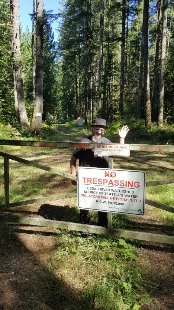
the place that is surrounded by a fence, with big, dire warning signs that say “NO TRESPASSING – $10,000 FINE!”…

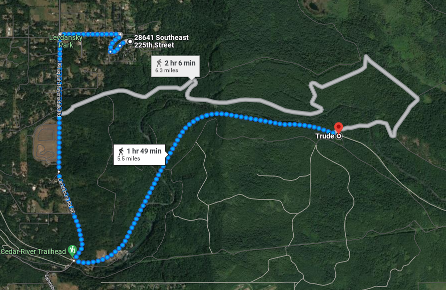
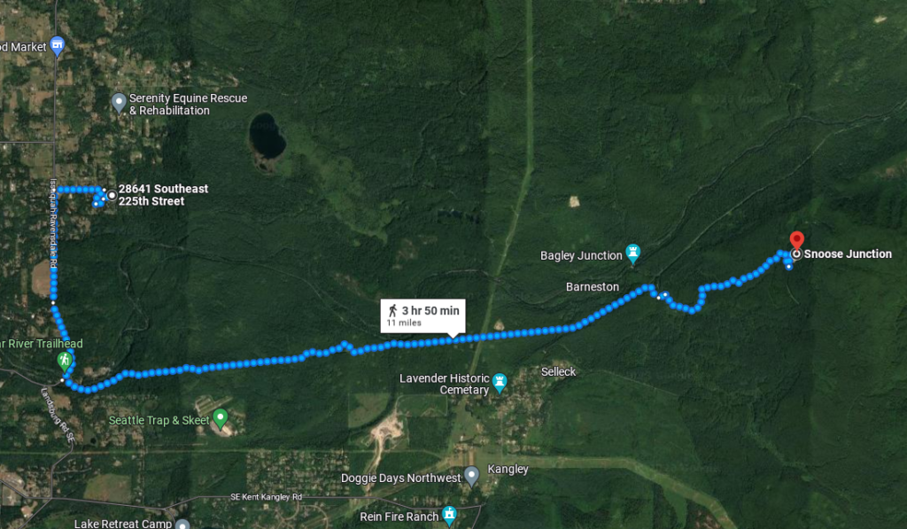
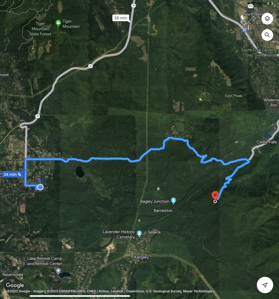
but, the thing is, there are a couple of “communities” near my house which i really want to go and visit: Trude, and Snoose Junction. if you plug those names into google maps, they exist, and if you plug in your home location, it gives you directions for how to get there.

and in the case of Snoose Junction, it gives me two alternate ways to get there!


i know there aren’t people living there… legally, anyway… i do know that there are some hold-outs who live on the outskirts of society, who probably live in the watershed illegally, but the state frowns on such things, and i would think that the location of an actual community, even a defunct one, is probably one of the last places such people would choose to live, because of that…
if they don’t want people going there, then why are those places even listed on the map? why does it give precise, turn-by-turn directions for how to get there, if nobody is supposed to go there? it doesn’t make sense to me! 🤨
both of these places are an easy bike ride from my house, they’re both places where people used to live, and i want to go poke around, take pictures, and see what is there now.
i know that they say $10,000 fine for trespassing, but i also know that there are SEMI-TRUCKS that regularly go in and out of the security gate at landsburg crossing (marked “Cedar River Trailhead” on the maps above), and i’ve seen folks with state-owned trucks, traveling on roads that have no trespassing signs on them, so i KNOW that the state makes exceptions to that rule… now it’s just a matter of finding out which strings to pull to have them make an exception for me… 😈